Satellite images have once again brought light to the tremendous impact of geopolitical actions on nuclear stability. **In a world where the delicate balance of power can shift with a single strike, satellite technology plays a crucial role in revealing hidden truths.** Recently, detailed images from space have exposed the United States’ bombing campaigns on Iran’s nuclear facilities, offering an eye-opening perspective on a complex global issue.
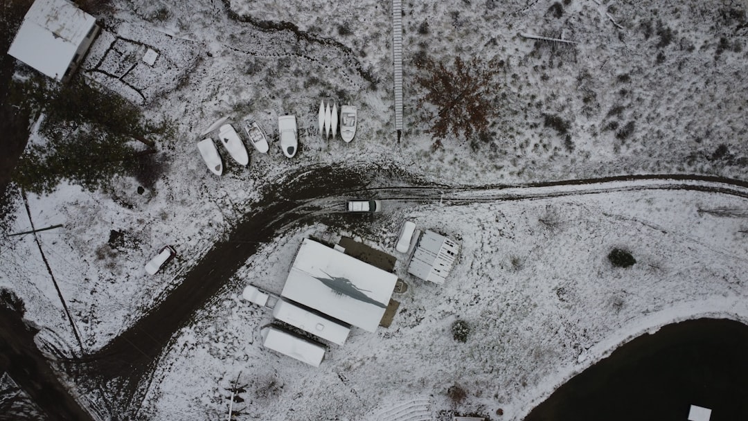
These high-resolution images provide unprecedented access to areas otherwise obscured by politics and military secrecy. Through analyzing these images, experts have identified patterns consistent with heavy bombardment, including scorched earth and structural damages near prominent Iran’s nuclear sites. Such findings have intensified already existing global concerns regarding Iran’s nuclear ambitions and the United States’ military strategies, sparking debates across international forums.
The consequences of these bombings extend far beyond mere property damage. They signify a broader statement on the growing tensions between the United States and Iran, putting the focus on the potential for escalating military conflicts. The satellite images function not only as a tool for verification of the damage but also as a point of data confirming the ongoing geopolitical chess game that could impact global peace.
In the current era, technology has transcended its traditional roles and has become a cornerstone for strategic military operations. Satellites not only monitor on-the-ground developments but have evolved into tools for surveillance, communications, and even warfare strategy formulation. The revelation of these bombings through satellite images further underscores the technology’s dual capacity as both observer and influencer in military operations.
Satellite technology is revolutionizing warfare by providing vital intelligence that influences diplomatic talks and military plans. Enhanced imaging capabilities mean that no action is too remote to escape scrutiny, turning the vast espionage apparatus of the Cold War into tools available to many global stakeholders. It offers a bird’s-eye view that holds nations accountable and ensures a level of transparency previously unattainable.
The relationship between Iran and the U.S. serves as a modern case study for this technological shift. As both countries engage in this ongoing saga, satellite technology ensures that the world remains informed and vigilant of every step taken, preventing incidents and strategies from slipping under the radar.
The exposure of such critical information through satellite images ignites discussions on the future of international relations, particularly concerning nuclear weapons and global peace.
As countries advance in developing more sophisticated nuclear capabilities, the need for monitoring tools like satellite technology increases inexorably. The importance of such technology cannot be overstated, especially as it equips international agencies and governments with the data needed to make informed decisions about counteractions and peacekeeping efforts.
International bodies such as the United Nations and the International Atomic Energy Agency (IAEA) will undeniably rely more on satellite data to uphold peace and monitor nuclear activities, taking proactive measures to prevent conflicts before they unfold. The role of satellites goes beyond data collection; it’s an essential peacekeeping tool in the 21st century.
As these developments unfold, the world waits and watches closely, armed with satellite data and a renewed sense of global responsibility.
Insights Report
Satellite Images








Leave a Reply